Responding to Stakeholders’ Request for Standardized Impact Reporting
New York’s Lake Ontario region saw unprecedented high water levels in 2017. New York Sea Grant responded to stakeholder requests for a standardized means of reporting the water level damages on waterfront properties by awarding special funding to Cornell University to develop and conduct an online survey.
Survey goals included:
- documenting the parcel-level impacts of the event on waterfront properties;
- providing municipalities with information that can assist them in community-based planning to reduce flood risks; and
- verifying existing flood-risk modeling.
The survey, targeted New York waterfront properties 5/25/17 – 8/31/17, collected qualitative data about parcel location, severity of inundation, flood insurance, severity of erosion, damage to shoreline protection, and over all impacts. In addition, pictures of the waterline and the property damage were provided.
Data, Results, and Photos from the 2017 Lake Ontario High Water Level Impact Survey
- 2017 Lake Ontario Water Level Impact Survey Story Map | Click Here
This interactive story map showcases data collected during the 2017 survey. See where the water came from, county breakdowns on impacts from inundation and erosion as well as learn what respondents experienced in other areas of their lives and see links to other helpful Lake Ontario water level resources.
- Survey data | XLS
The raw data (in Microsoft Excel) for verified and complete, or near
complete, surveys are here. These data are being presented as provided
by respondents and has not been edited.
- Survey Photos | Click Here
Survey respondents provided photos of the impacts of high water levels on their properties.
Photo credits: Coastal Flooding Survey Project, Cornell University and New York Sea Grant
- Sample results | PDF
Some survey results has been presented at NYS Senate Public Hearings as well as at local government training events. A sample of those results are available here.
- Survey Summary (manuscript) | PDF
This manuscript summarizes the survey process and results, and was accepted for publication in the Journal of the American Water Resources Association.
Transcripts of Testimony from NYS Senate Public Hearings:
- Ontario, NY (November 9, 2017) | PDF
- Mexico, NY (October 10, 2017) | PDF
Other flood related information not collected by the survey:
- Story Map: 2017 Lake Ontario High Water Overflight
Shoreline conditions viewed from low altitude aerial photography
from Stony Point to Braddock Bay at the peak of high water during June
2017. Courtesy of Tom Hart.
- Flood Photos | Click Here
Photo credits: New York Sea Grant
- Presentation & Video: Mold Remediation Workshop | Click Here
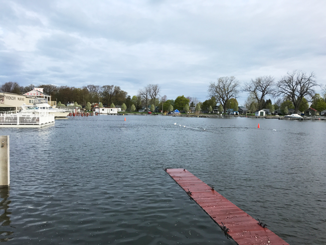
High water levels in Sodus Bay. Credit: Mary Austerman/NYSG