Photomonitoring
Photo point monitoring uses repeat photographs taken over time from the same location and field of view as the original photo, over a period of time. This method of monitoring vegetation and ecosystem changes is effective and inexpensive. Photo point monitoring in the ELODWA is an effective method of monitoring vegetation and ecosystems at multiple points.
Project Overview
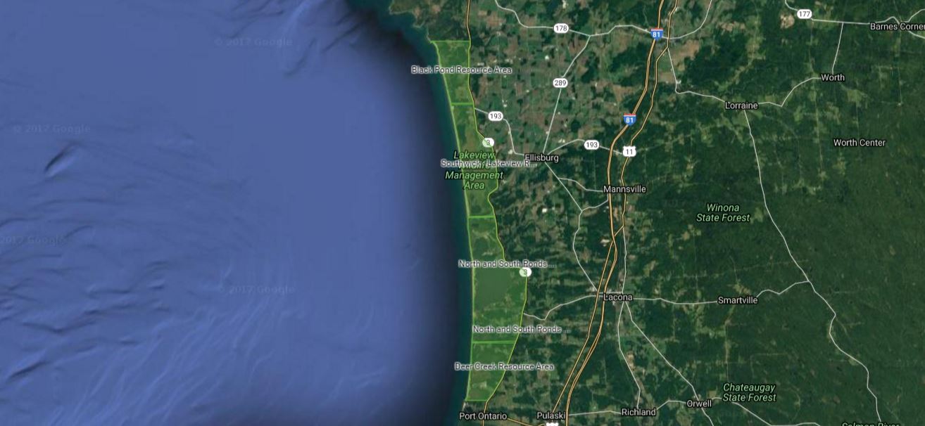
The Central and Western New York Chapter of The Nature Conservancy (TNC), in cooperation with New York Sea Grant, NYS Office of Parks, Recreation and Historic Preservation, and the Oswego County Soil and Water Conservation District, established a photo monitoring program to improve the understanding of how the beaches and dunes along Lake Ontario's eastern shore are faring over time. The photomonitoring points are grouped into four resource areas as outlined in New York’s Eastern Lake Ontario Dunes and Wetlands: Guidelines for Management in the 21st Century). The four resource areas are found below. There are photopoints on private property, property owners have granted permission for photomonitoring on their land.
Photos are taken at specified intervals, usually 2-3 years, in the same locations, each photopoint has been carefully selected. To view photopoints within each of these four resource areas, click on the titles below. This will bring you to a new window in GoogleMyMaps.
This project was initially supported by a grant from the U.S. Environmental Protection Agency.
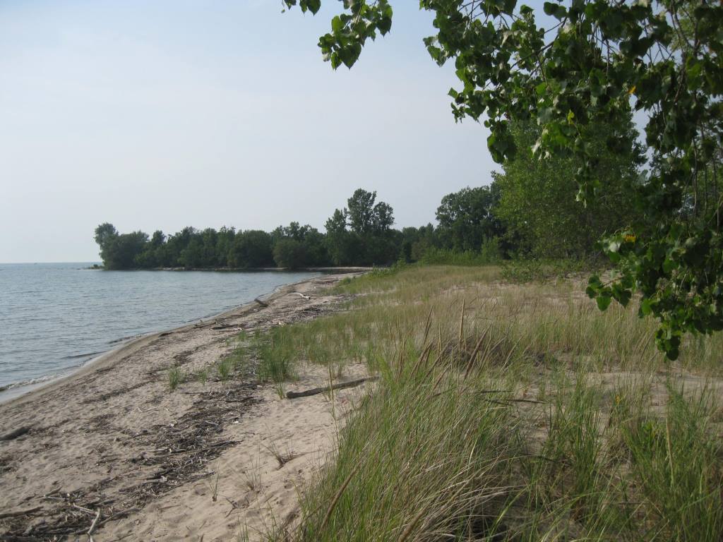
Deer Creek Resource Area
Site includes:
Private beachfront property
Deer Creek Marsh WMA
Brennan Beach RV Campground
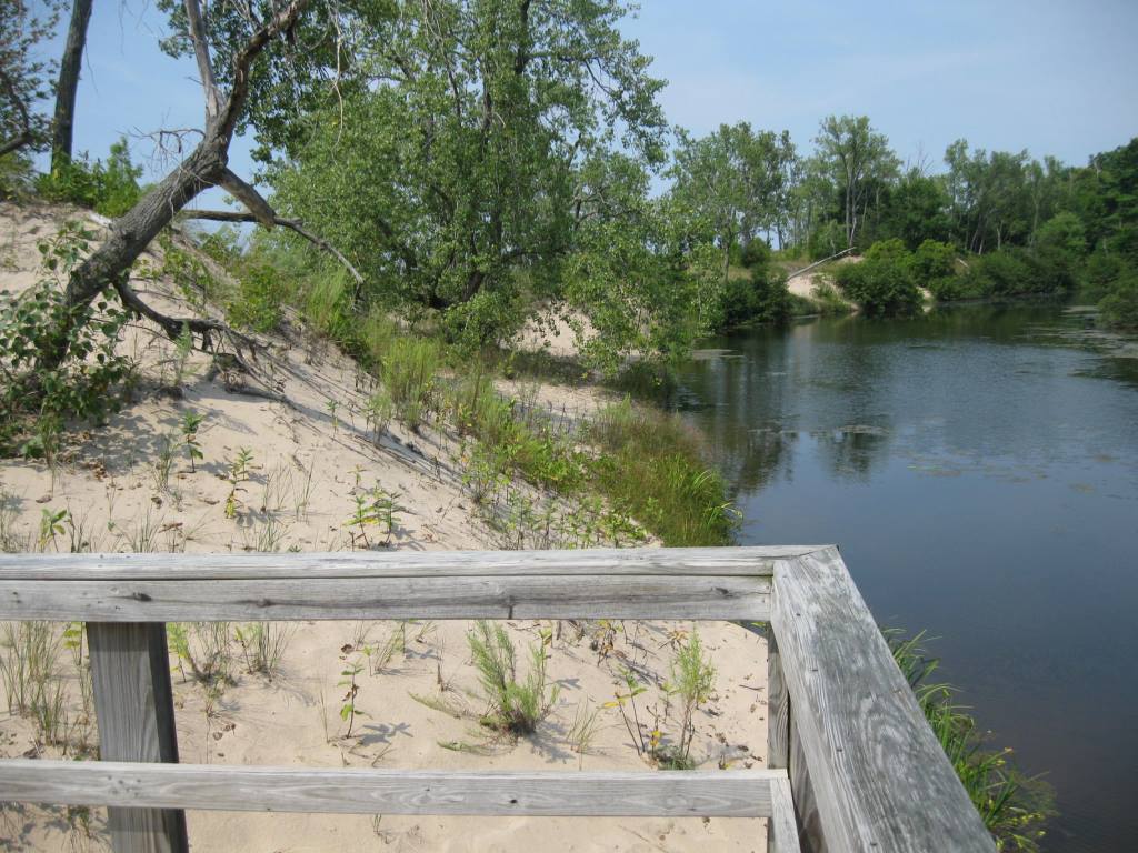
Sand beaches tend to be minimal or absent in much of this resource area. Cobbles dominate, with sand appearing when the water level is low. Going south, the sand resource virtually ends at the Salmon River, which marks the southern end of this resource area. Sand is moving north here, and beaches have become progressively sand-starved over the decades. Land owners who remember sandy beaches now have cobble beaches and/or rock-armored shoreline. There are two photopoints in this resource area, both at Deer Creek Marsh Wildlife Management Area.
North and South Ponds Resource Area
Site includes:
Private beachfront property
Sandy Island Beach State Park
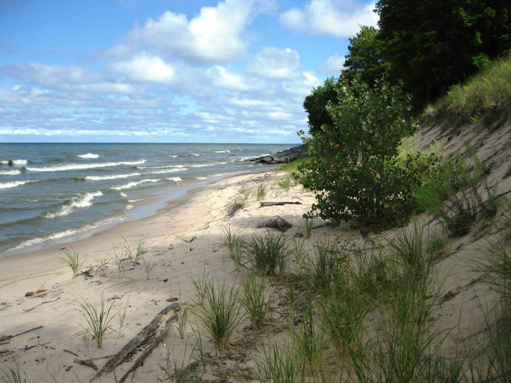
Beaches tend to be steep and narrow in much of this resource area. The southern portion features eroding bluff shorelines, some with remnant dunes, nearly all with cobble at the water line. Many of the private properties feature rock-armored shorelines, some with dunes and others with bluffs. Some of the area features eroding, receding dunes; in other areas the dunes are accreting and advancing. To capture the variety of conditions, there are 12 photopoints. Points 1, 6, 7, 11, and 12 are on private property. Points 2-5 are in the northern section of Sandy Island Beach State Park; Points 8-10 are in the southern section of the park.
Southwick-Lakeview Resource Area
Site includes:
Southwick Beach State Park
Lakeview Marsh WMA
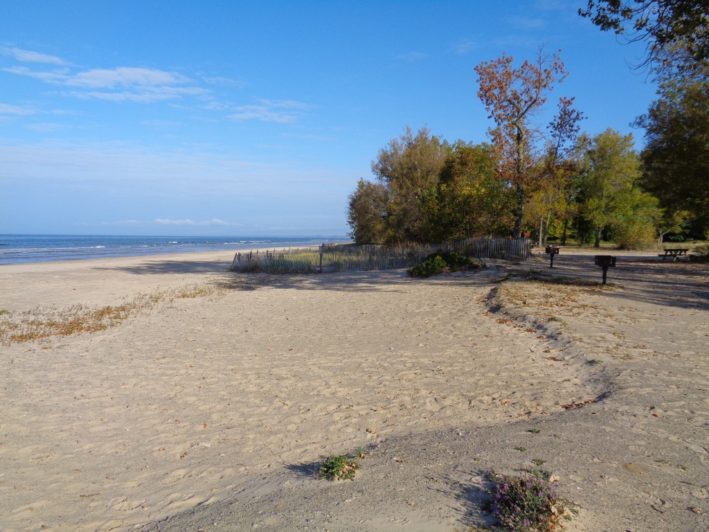
Beaches tend to be broadest and relatively level in this resource area, with sand entering the area from both north and south. There are four photopoints here. Points 1 and 2 view the beach and dunes north of the concession stand at Southwick Beach State Park. Point 3 views the dunes that from the campground south of the concession stand in the park. Point 4 views the dunes in Lakeview Marsh Wildlife Management Area.
Black Pond Resource Area
Site includes:
TNC’s El Dorado Preserve
NYSDEC’s Black Pond WMA
Private beachfront property
The Black Pond Resource Area includes the northern end of the ELODWA and some of the shelving bedrock beach to the north. Sand here is limited by the gradual emergence of the limestone bedrock that comes to the surface at the mouth of Black Pond. There are six photopoints. Point 1 views the bedrock beach north of Black Pond; Point 2 views the pond outlet, Point 3 views beach and dune line at the north end of the sand resource on El Dorado Preserve; Points 4 and 5 view the shore and dunes along Black Pond Wildlife Management Area; and point 6 views the dunes on a private property.